AA Walk 148 Goathland – 3.5 miles

Yorkshire Dales are a beautiful and calming area of the UK.

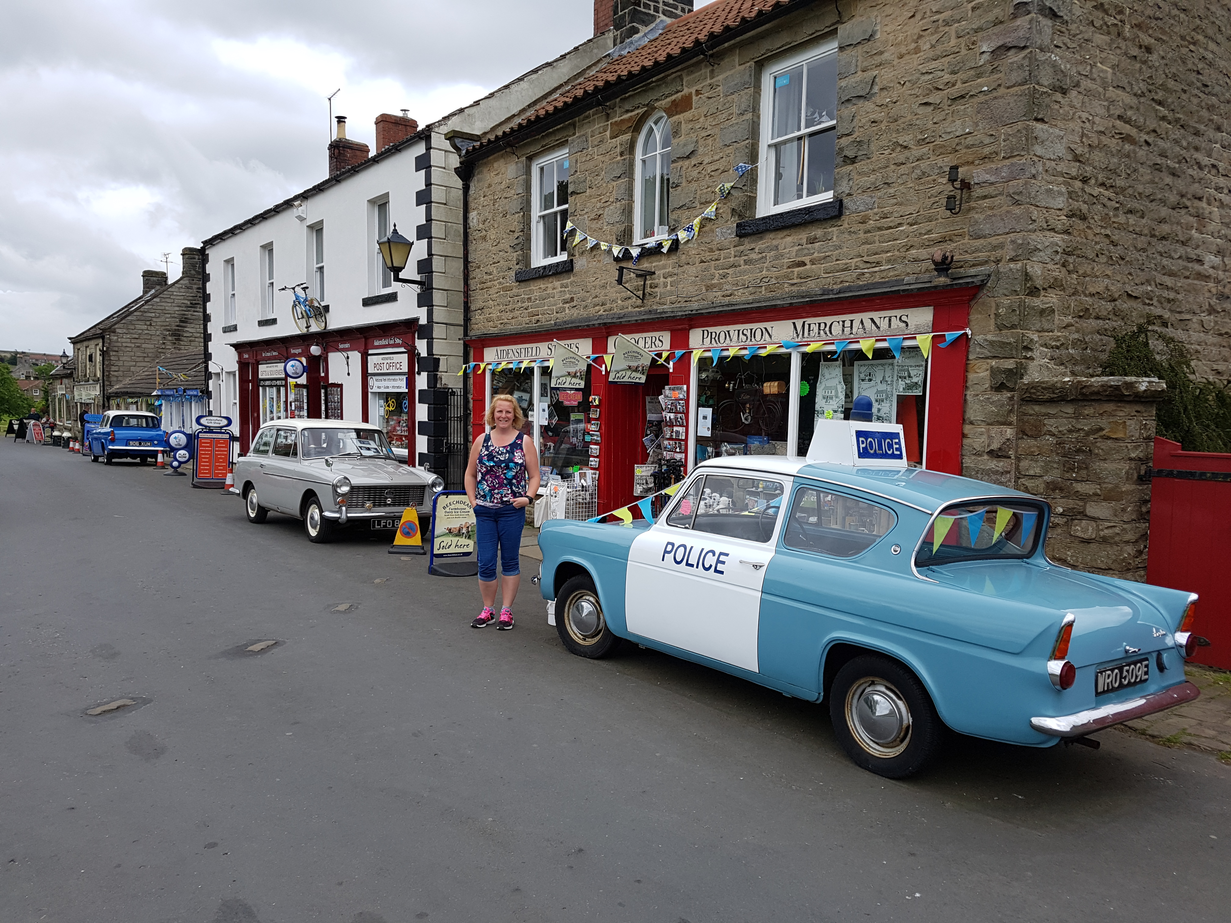
We drove into Goathland, and lovely memories of the 80s TV series Heartbeat came flooding back.

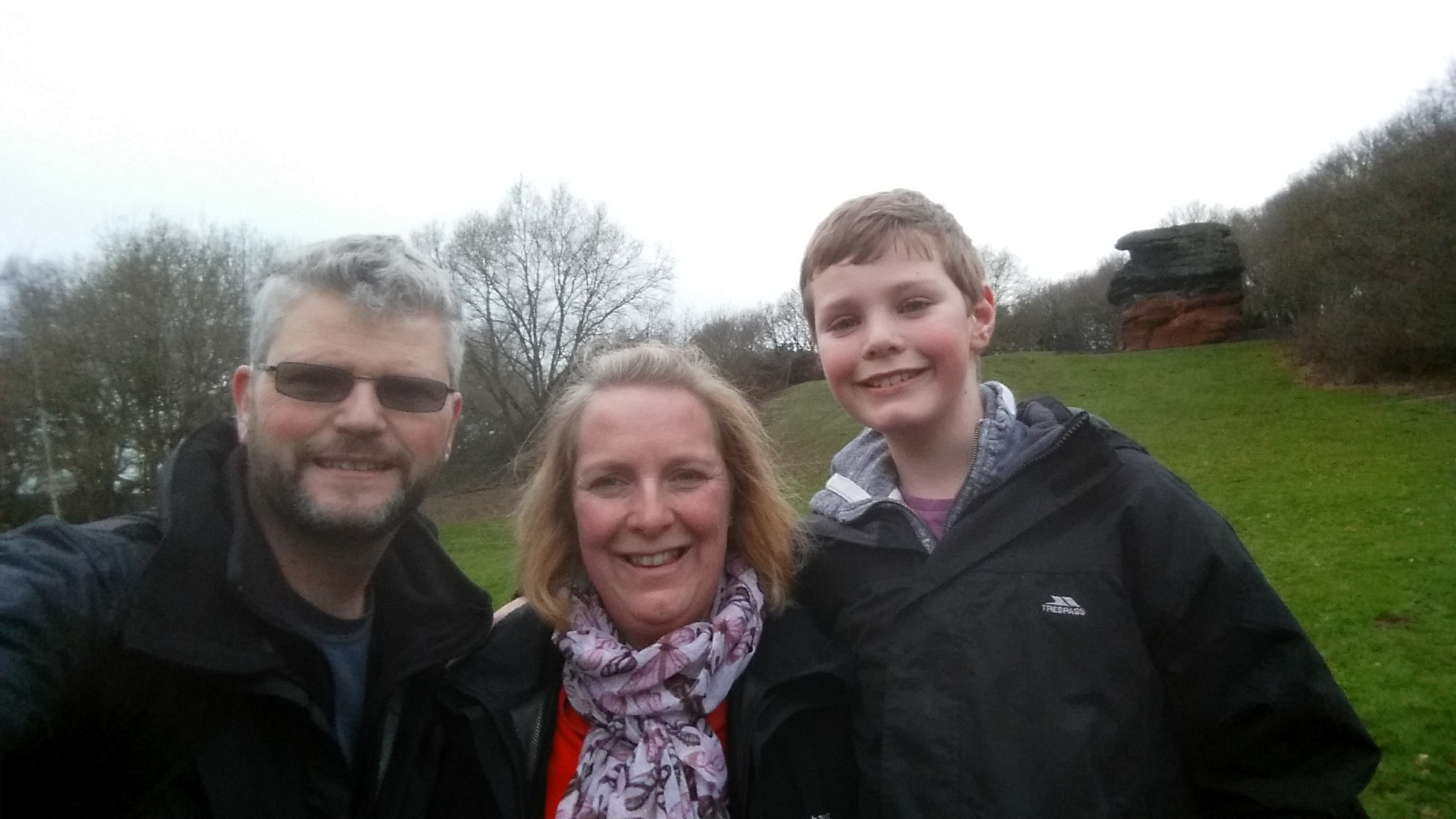
We arrived in the village and before the walk took a small divert to the local train station. Apparently the station is the setting for the Hogwarth’s Station in the Harry Potter films. I had a very excited boy.

Goath

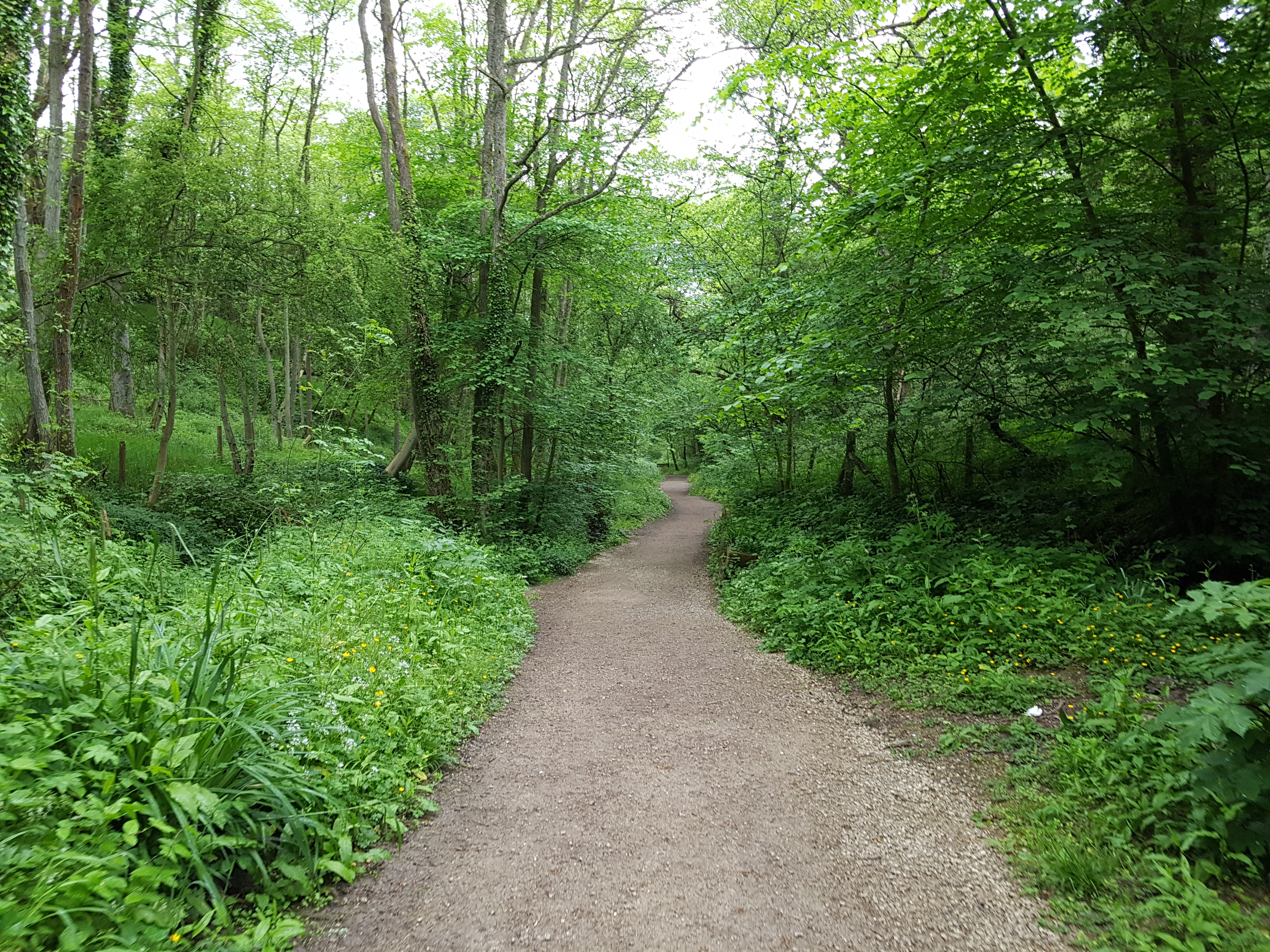
We started the walk, as per the instructions from the carpark in the village. We set off along the old railway line, walking slowly downhill.

2017-06-02 12.46.47

Once we turned off the path at Incline Cottage, we started to realise how much we had walked downhill – the next route was up many many steps!

Kissing Gate

The instructions mentioned a few stiles, these have all been replaced my kissing gates.

2017-06-02 13.56.20

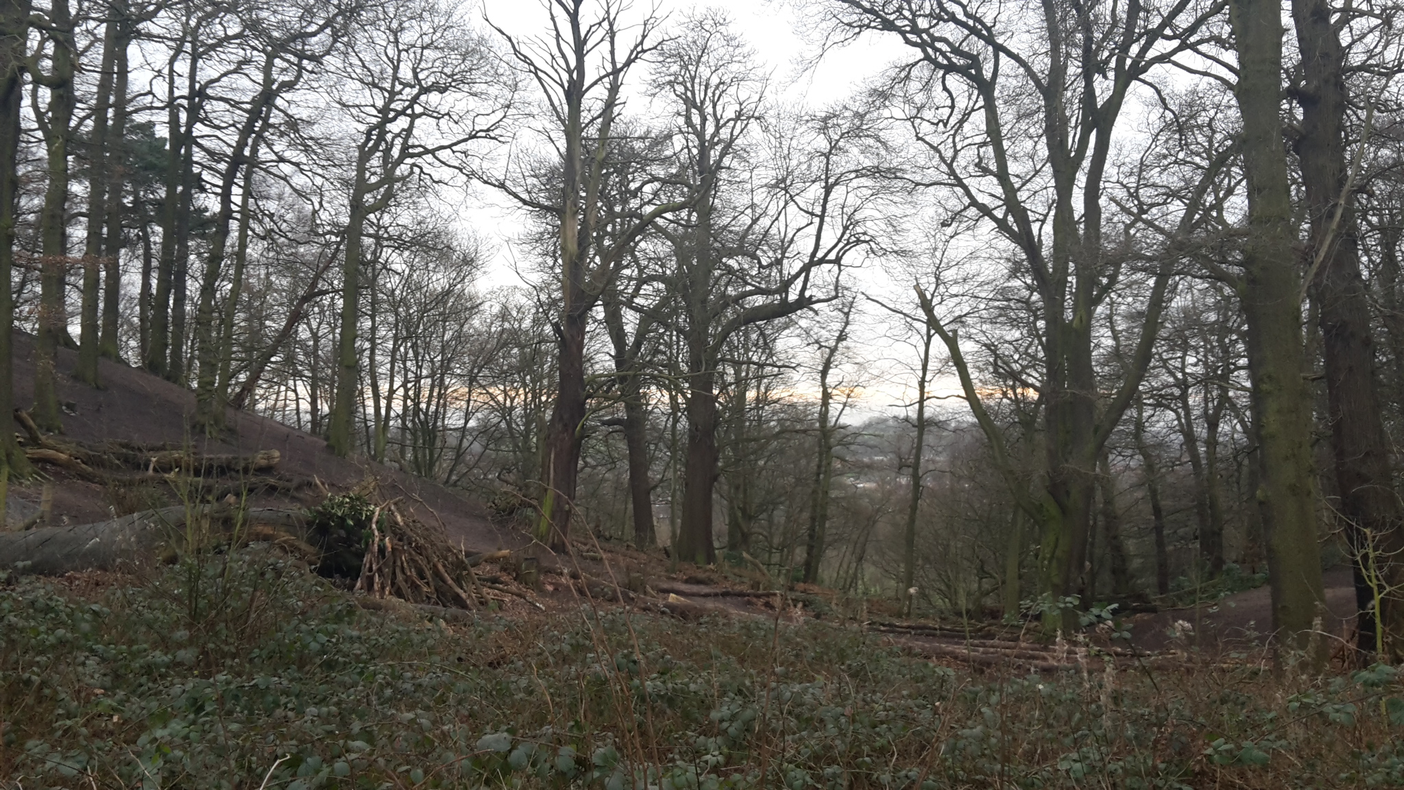
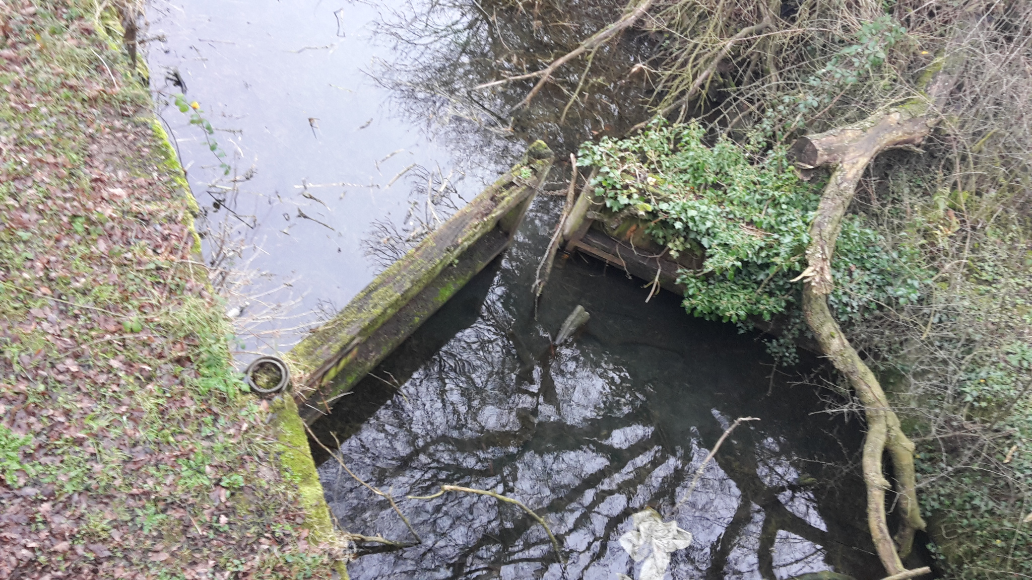
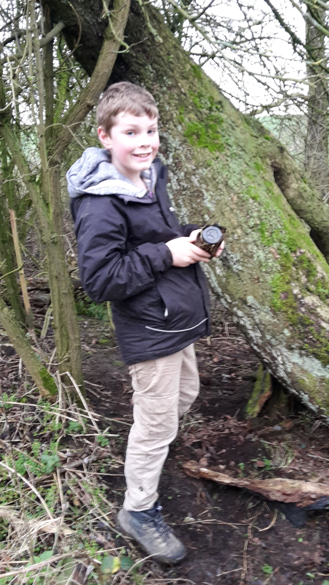
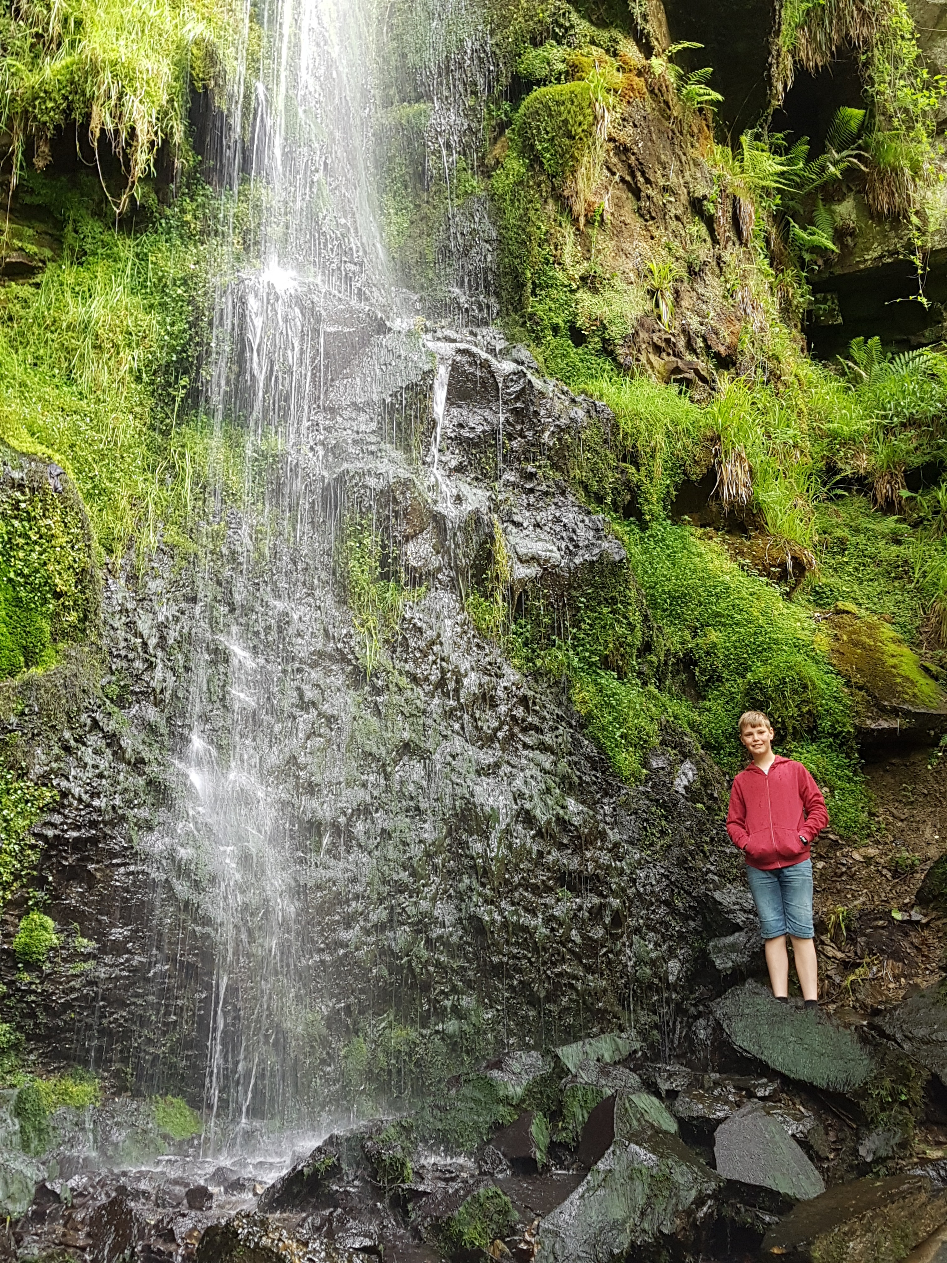
In the woods, at the split in the path, we head towards a well signposted Mallyan Spout Waterfall. Worthwhile a visit, the only downside was scrambling across the fallen rocks which could be tricky if wet.

2017-06-02 13.40.20 2017-06-02 13.42.42 Mallyan Spout waterfall

Back up more steps out of the woods, and this brought us back into the village. We love how the sheep ruled the road and wondered across the road anywhere they wanted.

2017-06-02 14.11.03

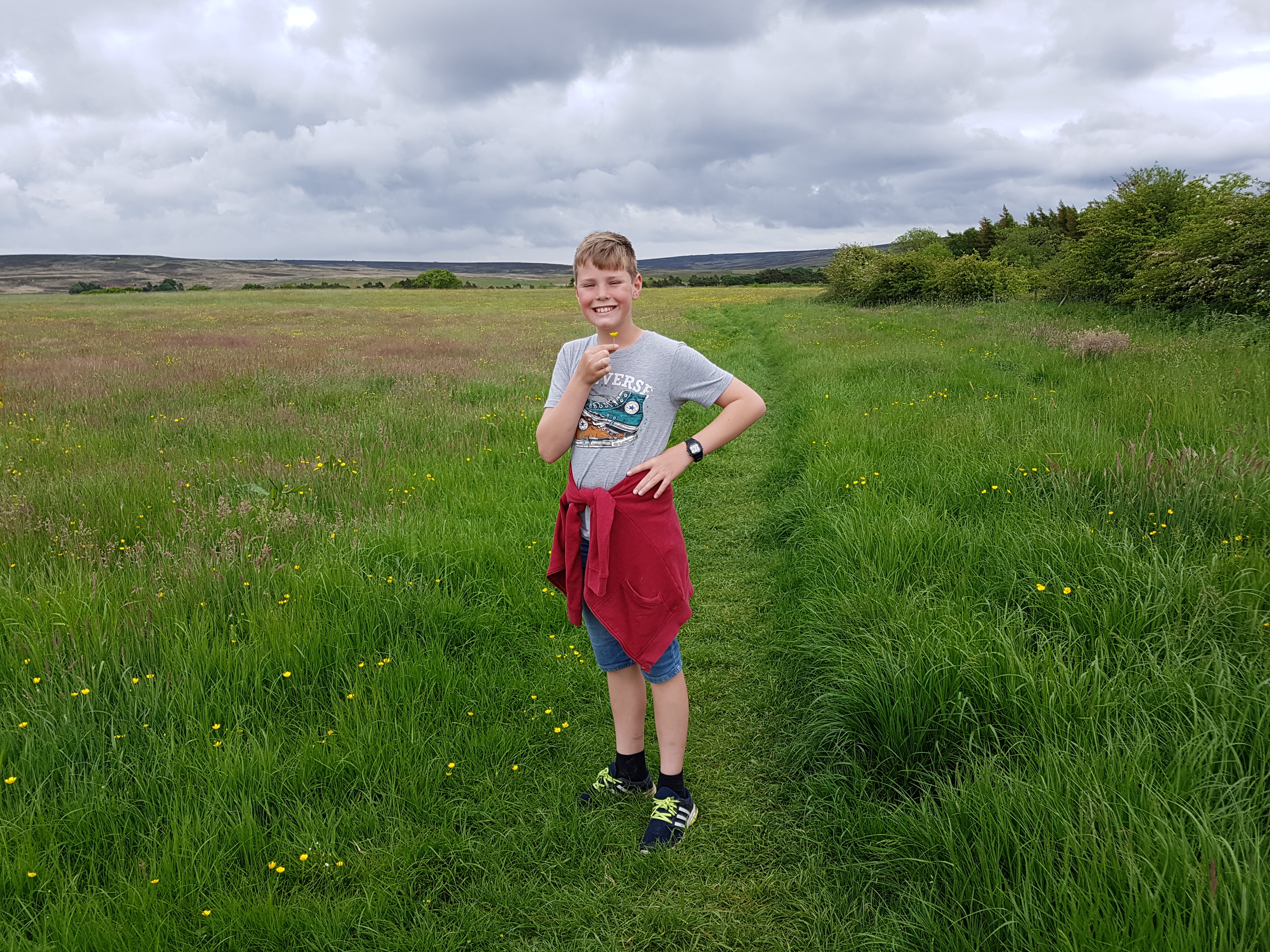
Through a couple of local fields, and pretty wild flowers.

2017-06-02 14.19.24

A lovely 3.5mile village walk and if you are in the area, its worth visiting the station and village shops. Memories of Hearthbeat are all around you.

2017-06-02 15.06.07

Walk Stats:

Time: 1.45 hour

NO Stiles, just kissing gates.

Lots of steps

Animals: Owl, Robins, Blackbirds, Sheep, Lambs.

Tom enjoyed a Calipo icecream at the end.

Weather: Cloudy 17oC

Similar Walk Details: AA Goathland the walk on the website appears to be in the opposite direction and is slightly different to the one originally published in the 1001 AA Walks Book.


Robin Hood Way Section 6: Papplewick to Blidworth

We are enjoying the Easter Holiday. As it’s the weekend Phil is off work so we head out in the sunshine for the next section of the Robin Hood Way walk.

Last time we finished the walk early, so we park up in Papplewick and head to start the walk on Moor Road (B683).

image
Start of walk.

We’ve had some rain over the past week so some of the ground was quite muddy.

image
Spring
image
The Moore's

On my timeline this morning on facebook, it showed we had been geocaching for 3 years, where does the time go. We have clocked up over 400 caches since then and still love it. Found a few more today to add to our total.

image
Geocache, fab hiding place!

We continued along the path towards Burnt Stump.

image

We arrive at Burntstump and my phone has already clicked up 3 miles, akkk.

image

image
Enjoyed a quick stop and cuppa.

We pick up today’s walk and we are truely enjoying the sunshine, all our coats are off.
Tom finds a rope swing amongst the trees in the park. At each swing we hear a cracking,  until on the 4 time it snaps! Whoops.

We walk past the woods  and walk a stretch on the road, such a shame there is no route in the forest and I hope this is something they continue to work with the foresty commission. The Papplewick Pumping Station is closed today. I’ve been in Nottingham over 10 years and have still not visited here, something on my to do list.

image
Outside Papplewick Pumping Station.

We continue walking to Blidworth Woods, the sun is still shining, and after a stop for sandwiches we set off walking up small inclines.

image

image

The foresty commission have been busy felling trees. We chat about the trees and are amazing at how large and small the trunks are.

image

image

We are getting tired now and continue  walking past lots of horses and pigs. Tom continues to question us about different types of farmers.
We reach Blidworth very tired and we have walked 8.76 miles in total, phew!
Throughly enjoyed the spring sunshine today.

image
Blidworth

Luckily the walk comes out right next to the local bus stop. Phil has worked out that we can catch the 141 Trent Barton bus back to Papplewick. We wait a short 10 minutes and if by magic the bus arrives.

Walk Stats
Weather: sunshine and cloudy 10oC
Time: 4 hours with two stops.
Geocaches: 4, 1 for Tracey, 3 for Phil
Miles: 8.75
Wildlife: local dog walkers, Horses,  pigs
Route Instructions: good, no direction on the last walk up Beck Lane
Distance on Route 30.25 miles walked, 76.75 miles remaining.

Robin Hood Way Section 2 : Wollaton Hall to Strelley – 6.5 Miles

As the sun is trying to peep through on another grey day we thought we would set off for part 2 on the Robin Hood Way walk.

We are going to try and walk more than the 2.8 miles in the book today. We leave our car at the Broad Oak pub in Strelley and walk to a nearby bus stop to catch a local 35 bus.

wpid-wp-1453584002300.jpeg


We jump off near Wollaton Park, where we walk the short distance to the park. We buy cups of tea ready for the walk (ice cream for Tom) and set off in the direction of the lake.

Start of walk at Wollaton Hall.

We walk out of the park and walk through a residential area before walking through some nice local parks.  Hard to believe these areas are hidden amongst all these houses. Found this beautiful boundary sign hiding in the hedge.

Boundary Sign

 The walk takes us along a disused golf course before heading up into Bramcote Park. Along this stretch we saw our first Robin hooks way sign!!!!

Robinhoodway Sign

Today’s walk should really have ended here at Bramcote Park….

Bramcote Park

…..but we knew we could walk more than the recommended 2.8 miles.  

wpid-wp-1453586166404.jpegWe managed to take the wrong path by the Hemlock Stone, but we were soon on the right track.  Local fields were muddy,  but this just gave the walk a bit of fun and laughter.

Bridge crossing old Notts Canal

wpid-wp-1453586309799.jpeg

Tom was asking questions like why the canal had no water,  and we were all surprised to see an old lock.

We walked past Trowell Garden Centre and could easily see the M1 motorway from here.  We are started to get tired now, but keep pushing on.

5 Geo's found today
5 Geo’s found today

wpid-wp-1453586362553.jpeg

Great views back to the city and of Wollaton Hall lit up at night.  The evening is drawing in,  and the light fading quickly.

We end our walk today meeting our friends at the pub for a well deserved tea. We can certainly recommend the Broad Oak.

2016-01-23 12.44.53

Section 2 – Walk Stats

  • Weather – mostly cloudy but a mild 10°C which meant that our hats were not on long.
  • Time –  3 hours – (1.43pm – 4.50pm)
  • Geocaches – 5 (Phil x 2,  Tom x 3, Tracey x 0)
  • Miles – 7.5 counting the extra walk from the bus.
  • Wildlife – Squirrels and Doves, walked around a farm, which hard the usual sheep, cows, hens but also lamas, and emu’s.  Not many birds but we did spot a bluetit,  robin , and as it was getting dark a family of magpies.
  • Route Instructions – Spot on again and fab to see the signs
  • Distance on Route – 12 miles walked – 93 miles remaining.
  • Section 1 – Nottingham Castle to Wollaton Hall can be found here
  • RobinHood Way link.
2016-01-23 15.08.39
Robinhood Way Sign

Robin Hood Way – Section 1 : Nottingham Castle to Wollaton Hall – 5.5 miles

Welcome to 2016 and our new year challenge.

Over the Christmas period we purchased the Robin Hood Way book, and wondered if we could complete the 105 mile walk over the year. The website robinhoodway. com gives information on the whole walk with additional information. We will be using the book along side each walk.

Sunday 10th January, we meet the inlaws (or should that be the outlaws) at Wollaton Hall where we leave one of our cars. We drive into the city, where we park our car ready to set out on our adventure.

Section 1 Nottingham Castle to Wollaton Hall.

Today is one of our coldest days of the year at 6°C however it’s also a bright sunny day too which makes all the difference.
After taking our first selfie, we set off from Nottingham Castle following the clear route instructions.

image
Nottingham Castle

We pass by one of Nottingham oldest pubs, and have nice views of the castle before taking a pleasant if not busy route along the Nottingham canal.

image

Tom is fasinated by the canal boats and asks many questions about the Castle Lock and how it works. Of cause the walk is not a walk if you don’t find a stick!!!

image

We enjoy a lovely well deserved cup of tea at (the gallery) University Lakeside at halfway point into the walk. We can highly recommend the scones!

image

After a quick look in the Dajongly Gallery we continue the walk along the beautiful University Gardens. Somewhere we all had not been before and hope to come back in the Summer. It was busy with people enjoying the afternoon sunshine.

image

After walking through the University, the last of today’s walk is through the stunning Wollaton Park grounds.

image

A beautiful day to start this series of walks. After finding our car in what is now a busy car park, we drive into the city to collect our second car. We can’t wait for the rest of this journey/walk,  bring on 2016.

Walk Stats:

  • Weather – Sunny 6°C
  • Time – 11 – 3pm with a stop of lunch and a cup of tea.
  • Geocaches – 4 ( Phil x 1,  Tracey x 1,  Tom x2) and 1 DNF
  • Miles – With the extra geocaches etc walked 5.5 miles.
  • Wildlife – Not many birds, but some ducks and two swans. Two squirrels in the Lakeside lake area.
  • Route Instructions – spot on but we didn’t see one robinhoodway signposts??
  • Distance 5 miles walked – 100 miles remaining.

Walk Dovedale

15th January 2012

It was a cloudy day in Nottinghamshire so we set off for the derbyshire dales. By the time we arrived in at Dovedale luckily the cloud was starting to lift. The carpark was busy and alot of people had the same idea as us, but it was still great. Tom loved scrambling along the path by the river dove and crossing the stepping stones. We didn’t walk far but it was great to get out into the freshair!!

We are hoping this will be the first walk of many this year.