
 |
LIFETIME of WALKS by DEREK HARWOODDerek Harwood's Walking Records If you have any queries about the pictures or discriptions e-mail me at: derek@harwoodonline.com | ||||
 | |||||
| PEAK DISTRICT NORTH/SOUTH TRAVERSE MARGERY HILL Gallows Moss (A628) to Ladybower Res Sunday 12th October 2003 ...............Walk No. 572 |
 | ||||
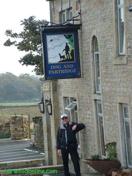
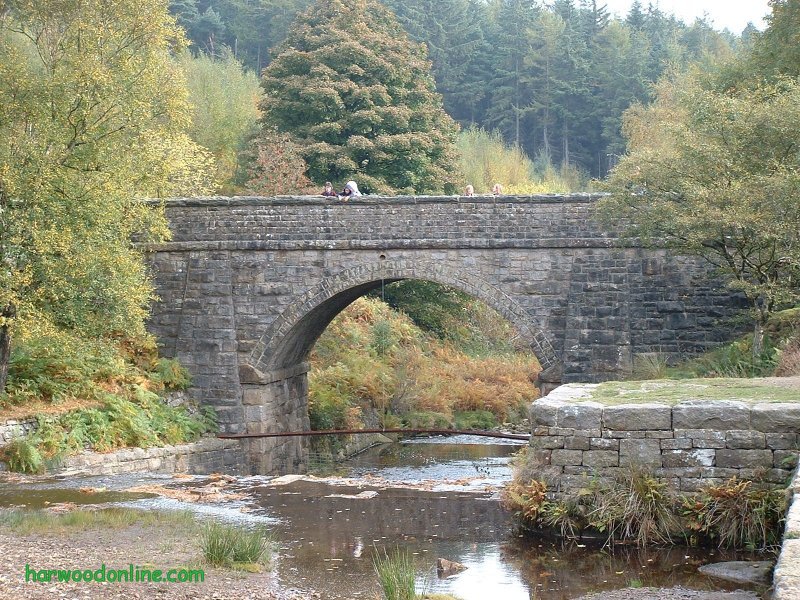
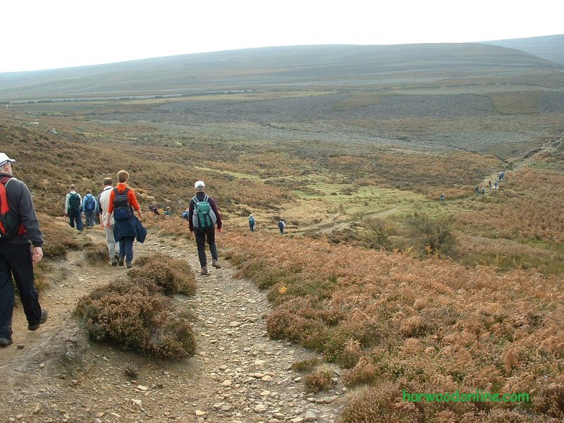
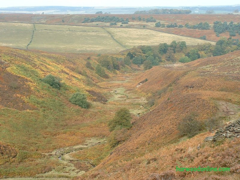
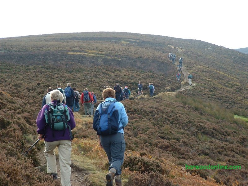
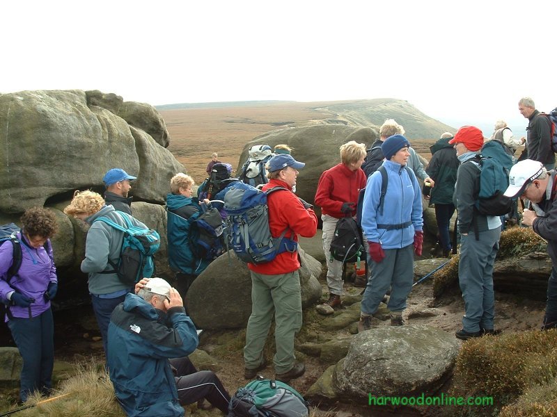
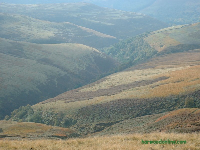
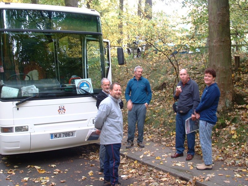
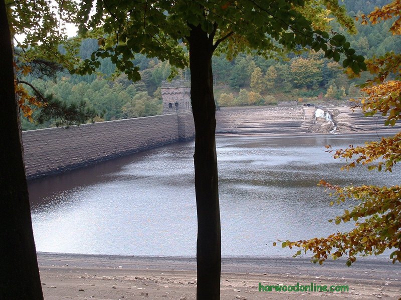
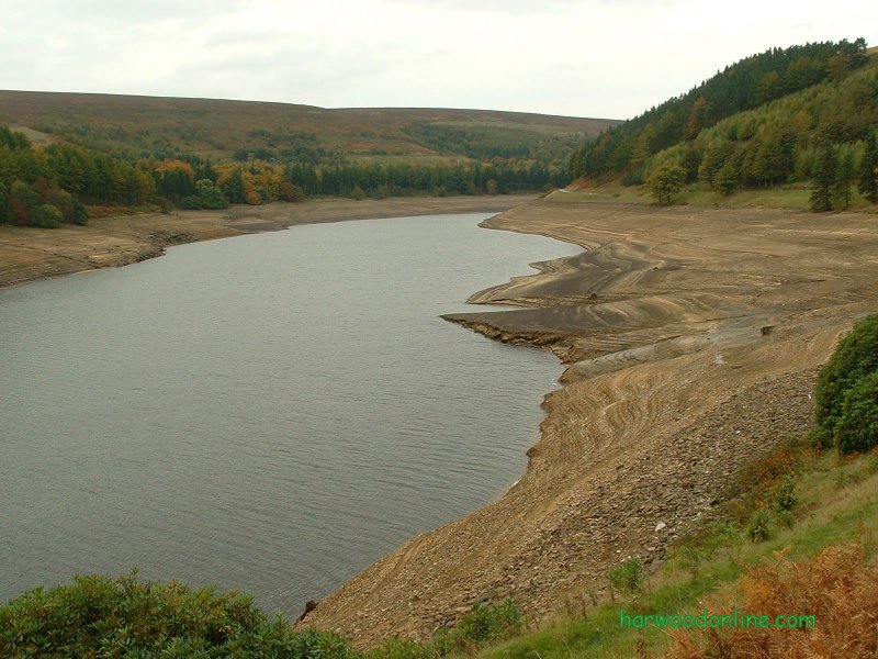
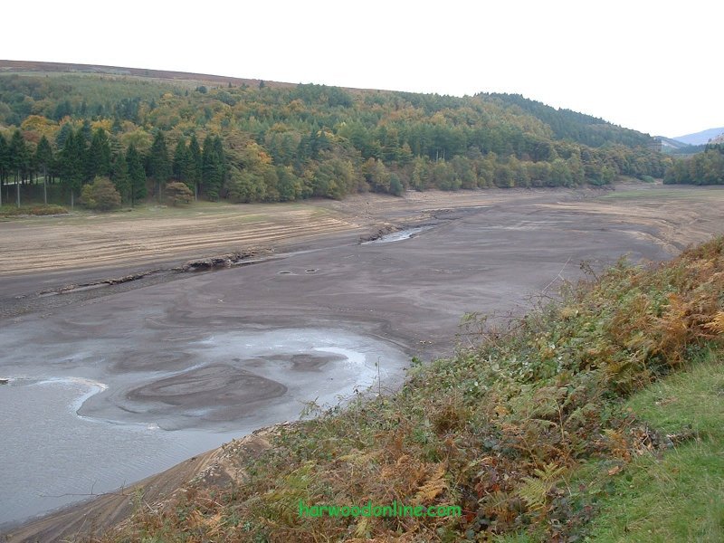
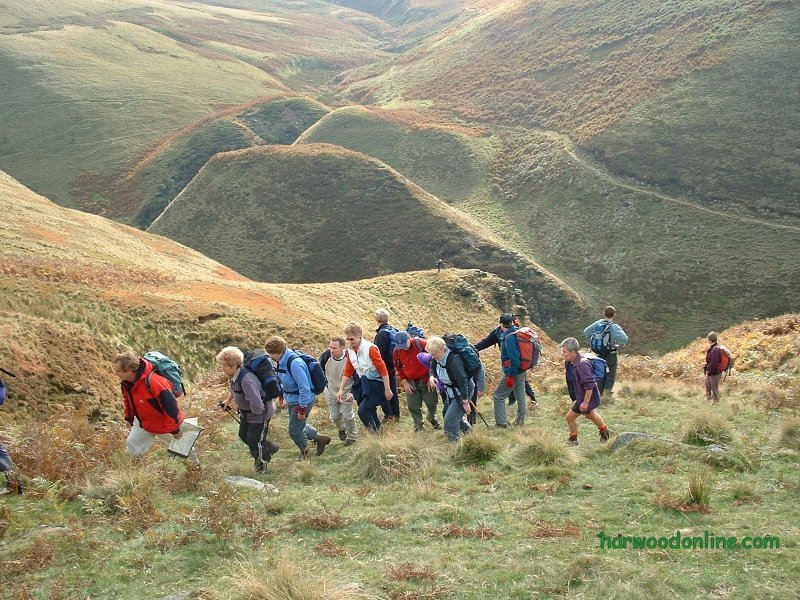
Midland Hillwalkers No. 61 Total 757 miles 'A' Walk led by Brian Smith Time Taken: 6.00 hrs Distance: Enjoyment: Weather: Hazy Sunshine 9:45 am - 3:45 pm 13.5 miles 85% Cool and Windy Temp: Cloud: Rain: Visibility: Ground Conditions: Wild Life: 13oC 75% 0% Hazy Sunshine Excellent Birds, Sheep Total AA: Total MH: Total LD: Total AW: Other: Total Distance: 759 mls 757 mls 1697 mls 121 mls 898 mls 4232 miles Companions: (Derek) Ken, Lynn and the contents of Trevor's coach. Points of Interest: Gallows Moss Fiddlers Green Barnsley Boundary Walk Dog & Partridge Little Don River Hingcliff Hill Mickleden Edge Midhope Moors Cut Gate Featherbed Moss Middle Moss Penistone Stile Howden Moors Howden Dean Derwent Reservoir Ladybower Reservoir Margery Hill 1792 feet (546 mts) General: Second day's walking 'Peak District North/South Traverse'. 11.5 to 25 miles. Started from Gallows Moss and crossed A628 to path past Lady Cross, but no Cross found. Crossed A628 again to OS column at Fiddlers Green. Passed Dog & Partridge Pub (unfortunately shut at 10:30am) and turned down lane towards moored. Forded Little Don River near bridge at end of Langsett Resr and continued up Hingcliff Hill to Mickleden Edge. Surprising how many cyclists stopped and waited for our group to pass. Steady climb to OS column at Margery Hill and lunch. Whole 'A' group sheltered behind a huge bolder to shelter from cold wind. Continued along edge to Penistone Stile by Featherbed Moss and Howden Moors. Diversion necessary when descending into Howden Dean. Way less steep and more picturesque if path followed around head of Dean. Continued above Abbey Brook to Derwent Resr track where we mingled with the cyclists. Resr surprisingly empty. Trees slowly turning to golden browns on slopes of reservoir. Good view of dam at head of Derwent Resr. With the water level very low the dam looked very tall and thin, but beautifully built of stone blocks. Crossed meadow and bridge in front of dam to Fairholmes Picnic Area and coach by Ladybower Reservoir. Start 414100,400545 finish 417200,389335 via 418885,395705. Thanks once again to Bill and his leaders for another wonderful day on the hills. www.streepmap.co.uk Start 414095/400540, finish 417200/389240, via 418860/395680 Hazards: Great care required in wet conditions to avoid the boggy areas. Keep to well defined paths marked on maps. Do not pollute the reservoirs, take all waste products home. Cross legs if necessary. Although difficult to walk and not recommended for driving. Left my carrier bag of dirty washing in the coach boot. Wife pleased. Thanks to Bill for rescuing my bag and his kind lady for allowing me to collect it early Monday morning. | |||||
 | |||||
 | |||||
 | |||||
|
|||||
 | |||||
 | |||||
 | |||||
 | |||||
 | |||||
 |
 |
 |
 |
 | |
| Previous Walk : Next Walk : More Photos : 'Midland Hillwalkers' Photos : 'Lake District' Photos | |||||
| News : Formula 1 : Walking : Table Tennis : Bellringing : My Friends : My Guestbook : CV : Links | |||||
Derek Harwood: Copyright 2003 Devised: October 2003 | |||||