
 |
LIFETIME of WALKS by DEREK HARWOODDerek Harwood's Walking Records If you have any queries about the pictures or descriptions e-mail me at: derek@harwoodonline.com | ||||
 | |||||
| WARWICKSHIRE RAMBLE BUBBENHALL WOOD Thursday 25th January 2007 .............................Walk No. 690 |
 | ||||
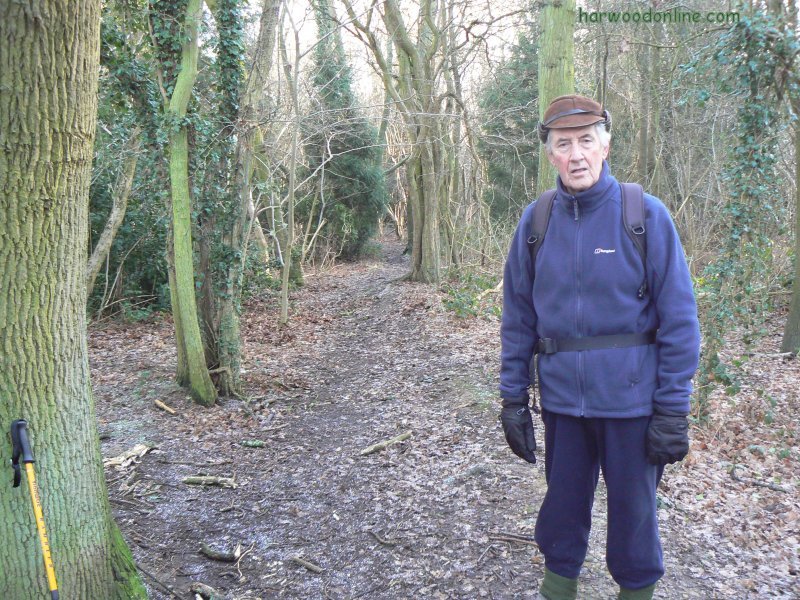
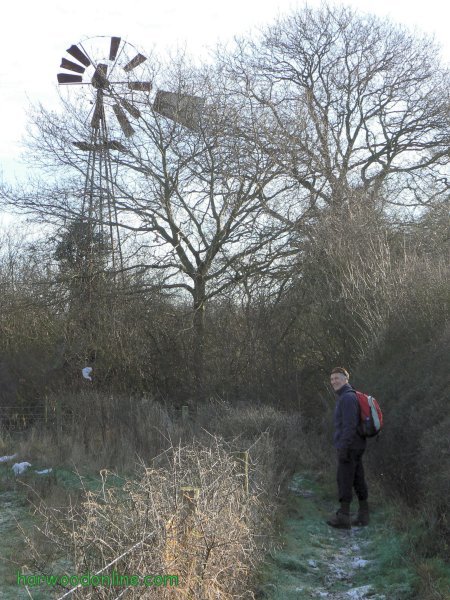
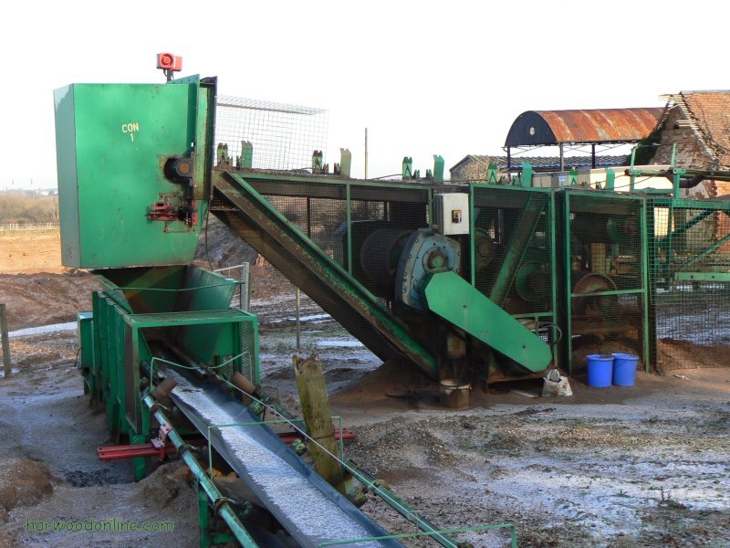
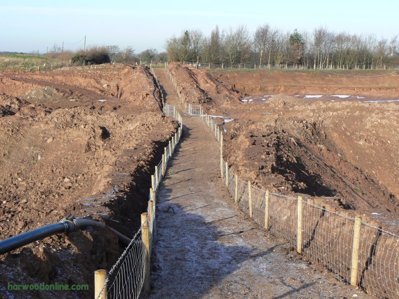
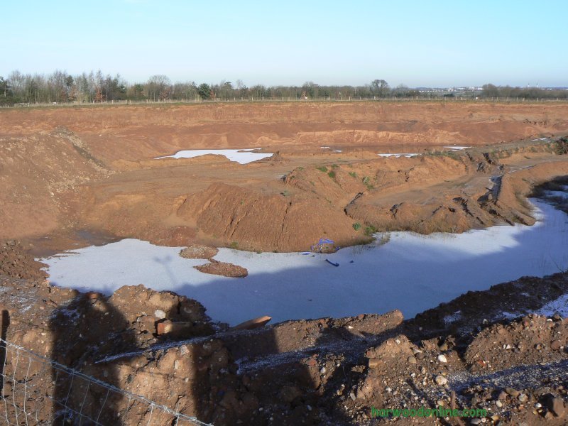
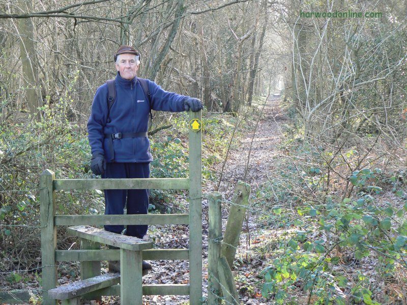
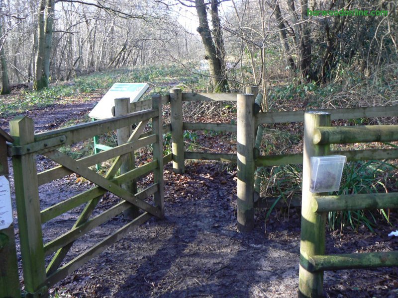
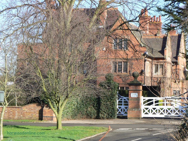
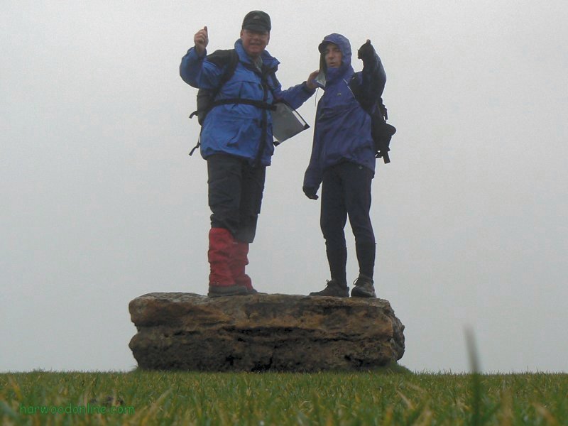
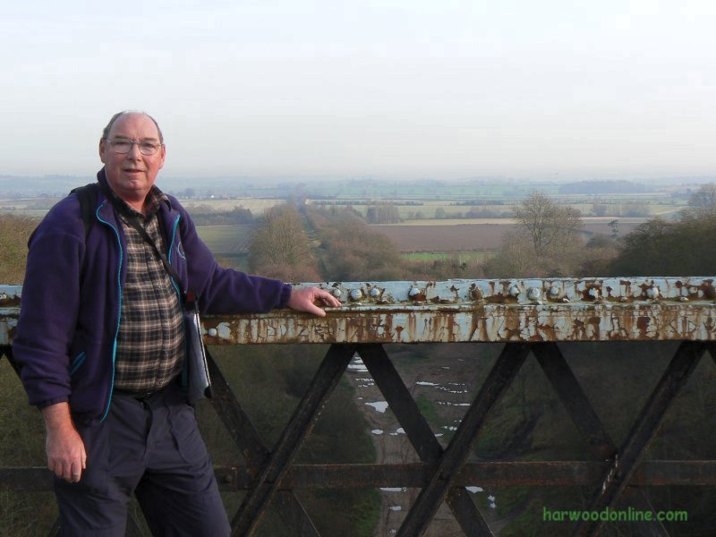
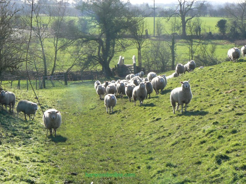
Warwickshire Ramble No 8 Total 84 miles Time Taken: 4.75 hrs Distance: Enjoyment: Weather: Bright but Chilly 9:30 am - 2:15 pm 10 miles 80% Clear & Bright Temp: Cloud: Rain: Visibility: Ground Conditions: Wild Life: Mute Swans 6oC 10% None Very Good Very Muddy Snowdrops & Catkins Total AA: Total MH: Total LD: Total AW: Other: Total Distance: 1027.5 mls 931.5 mls 1823.5 mls 162 mls 1057.5 mls 5002 miles Companions: (Derek) John Ingram Points of Interest and LINKS:Description: Started from a frosty Cubbington and walked carefully in the thick mud to Weston-under-Wetherley via South Cubbington Wood and a field of Black Pedigree Sheep (should know the name of the species). From the B4453 road at Weston we walked north to Weston Lane near Weston Fields Farm, trying to avoid the large frozen puddles, At the road we found a proposed application map for the local landfill expansion. The map was very difficult to read and understand because no wooded areas were shown on the map. We walked alongside the Landfill Site Boundary to Wood Farm, passing an old unusable wind turbine. At Bubbenhall Wood we walked around the perimeter , carefully skirting the flooded areas, to Glebe Farm, where the sand quarrying was at its deepest and widest. Quite spectacular. The quarry longitudinal belts carrying the sand were not working unfortunately. We think the many rollers carrying the belt were frozen solid. From Grebe Farm we walked directly through Bubbenhall Wood and back to Wood Farm, where the many buildings have been converted into holiday accommodation. From the south/east corner of the landfill area we walked to the south/west corner of Wappenbury Wood. Here we entered the wood and continued to the bridleway at the boundary between Wappenbury Wood and Duke's Wood. where we passed through a kissing gate with a 'double' area to wait while the gate is moved to the opposite location. We could not think of the advantage of this kissing gate over a conventional 'single' area kissing gate. Presumably the inventor still knows the purpose. Good views across Leam River Valley at Hill Farm towards Marton & Hunningham Hill. Very muddy and slow going from Hill Farm to Wappenbury, where we sat on the donated bench to have our lunch. As we departed Wappenbury & crossed the ancient groundworks of the once splendid fort, we were invaded by sheep, demanding food, although the banks of the earthworks were thick with long grass. We crossed the River Leam at Wappenbury over the re-furbished footbridge to Hunningham, where we crossed the river again at the narrow road bridge by the Red Lion Public House. We continued back to Pinehurst via Weston-under-Wetherley and South Cubbington Wood. Another superb day in Warwickshire Countryside with John. Location: www.streetmap.co.uk, - Start & finish from Cubbington 434360/268445 , - via Bubbenhall Wood 436575/271680, - via Wappenbury 437835/269415. (Click on location and use Zoom). Hazards: Good to get out into the countryside on a fresh, bright and cold morning. Take care with icy conditions. Never step on the ice of ponds, rivers, canals etc., if the water may be more than a few inches deep. Click Here to Return to 'Lifetime of Walks' Homepage | |||||
 | |||||
 | |||||
 | |||||
|
|||||
 | |||||
 | |||||
 | |||||
 | |||||
 | |||||
 | |||||
 |
 |
 |
 |
 | |
| Previous Walk : Next Walk : More Photos : 'Midland Hillwalking' Photos : 'Lake District' Photos | |||||
| News : Formula 1 : Walking : Table Tennis : Bellringing : My Friends : My Guestbook : CV : Links | |||||
Derek Harwood: Copyright 2007 Devised: January 2007 | |||||